


Vous pensez qu'il y a une erreur sur ce lieu ?
Signaler une erreur
Vos retours sont importants pour nous. Si vous avez remarqué une erreur concernant ce lieu, merci de nous en informer pour que nous puissions la corriger.
Propriétaire de ce lieu ?
Nous récupérons automatiquement les informations disponibles sur votre lieu. Si jamais celles-ci ne sont pas correctes, connectez-vous gratuitement sur notre tableau de bord pour les modifier et bonus, accédez à vos statistiques détaillées.
 Modifier les informations de votre lieu
Ce qu'en disent les utilisateurs
Autres lieux à voir autour
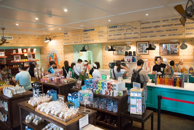 Matsumoto Shave Ice
66-087 Kamehameha Hwy #605, Haleiwa, HI 96712, États-Unis
Ajouté par252 utilisateurs
Matsumoto Shave Ice
66-087 Kamehameha Hwy #605, Haleiwa, HI 96712, États-Unis
Ajouté par252 utilisateurs
 Giovanni's Shrimp Truck
66-472 Kamehameha Hwy, Haleiwa, HI 96712, États-Unis
Ajouté par234 utilisateurs
Giovanni's Shrimp Truck
66-472 Kamehameha Hwy, Haleiwa, HI 96712, États-Unis
Ajouté par234 utilisateurs
 Haleiwa Bowls
66-082 Kamehameha Hwy, Haleiwa, HI 96712, États-Unis
Ajouté par184 utilisateurs
Haleiwa Bowls
66-082 Kamehameha Hwy, Haleiwa, HI 96712, États-Unis
Ajouté par184 utilisateurs
 Waialua Bakery
66-200 Kamehameha Hwy, Haleiwa, HI 96712, États-Unis
Ajouté par69 utilisateurs
Waialua Bakery
66-200 Kamehameha Hwy, Haleiwa, HI 96712, États-Unis
Ajouté par69 utilisateurs
 Farm To Barn Cafe & Juicery
66-320 Kamehameha Hwy, Haleiwa, HI 96712, USA
Ajouté par65 utilisateurs
Farm To Barn Cafe & Juicery
66-320 Kamehameha Hwy, Haleiwa, HI 96712, USA
Ajouté par65 utilisateurs
 Surf N Salsa
66521, Kamehameha Hwy, Haleiwa, HI 96712, États-Unis
Ajouté par55 utilisateurs
Surf N Salsa
66521, Kamehameha Hwy, Haleiwa, HI 96712, États-Unis
Ajouté par55 utilisateurs
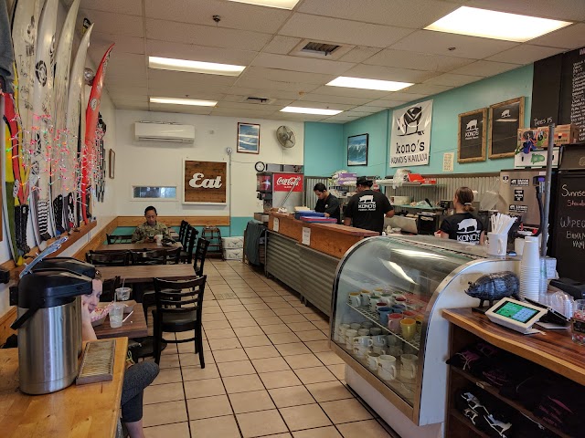 Kono's
66-250 Kamehameha Hwy g110, Haleiwa, HI 96712, États-Unis
Ajouté par55 utilisateurs
Kono's
66-250 Kamehameha Hwy g110, Haleiwa, HI 96712, États-Unis
Ajouté par55 utilisateurs
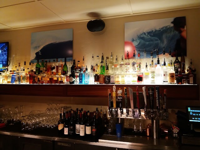 Haleiwa Joe's Seafood Grill
66-011 Kamehameha Hwy, Haleiwa, HI 96712, États-Unis
Ajouté par47 utilisateurs
Haleiwa Joe's Seafood Grill
66-011 Kamehameha Hwy, Haleiwa, HI 96712, États-Unis
Ajouté par47 utilisateurs
 Hale'iwa Beach Park
62-449 Kamehameha Hwy, Haleiwa, HI 96712, États-Unis
Ajouté par43 utilisateurs
Hale'iwa Beach Park
62-449 Kamehameha Hwy, Haleiwa, HI 96712, États-Unis
Ajouté par43 utilisateurs
 Mākaha Beach Park
84-369 Farrington Hwy, Waianae, HI 96792, États-Unis
Ajouté par42 utilisateurs
Mākaha Beach Park
84-369 Farrington Hwy, Waianae, HI 96792, États-Unis
Ajouté par42 utilisateurs
"Sentier côtier 9,8km 149m de dénivelé "
@
"1:30 Stunden und ca 4,6 Meilen bis zum nordwestlichsten Punk wo wieder die Straße ist! Mit dem Auto benötigt man die gleiche Zeit (für 53 Meilen) nur anders um den Berg herum!"
@bernd.grasshoff
"3.5-mile hiking & biking path on a former railroad bed & dirt road amid dramatic coastal scenery."
@
"6 mikes out and back. Lots of wildlife. Beautiful coast views. "
@
"Top rated easy hike where you can see wildlife if lucky! Whales, sea birds, monk seals "
@
"coast along walk, rugged volcanic, beautiful view and wildflower and dolphin sometimes Morning "
@looriinnee
"3.5 miles. This trail follows an old dirt road along the rocky coast. It leads to a remote, protected seabird sanctuary and provides great views of the Waianae Mountains. Along the way, there are places to hang out, fish, and picnic."
@jesusg
"Easy but long. 5 mile. 2h to 4h to get there and be back"
@
"Fairly flat but zero shade so it got very hot. There are a few variations along the trail so you can be close to the beach or on more paved areas. Spotted a seal."
@elliotm
"Nice easy hike along the coast. Crazy waves and solid for sunset. Have to park by the satellite station and walk an extra mile through the bay to get to trail head. Sweet views"
@maneeshkarnati
"Balade pour atteindre le westernmost point de Oahu. Pas d'ombre, prendre un chapeau et beaucoup d'eau. Env. 2h aller-retour "
@wariepoppins