
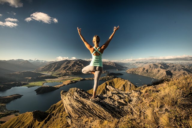

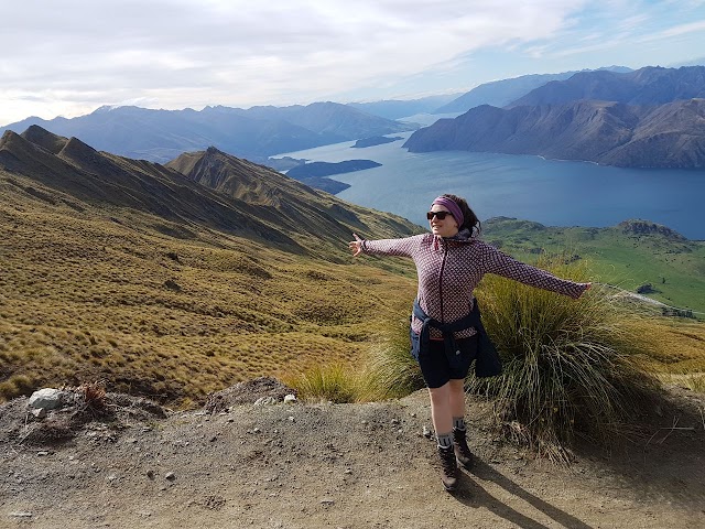


Roys Peak
Vous pensez qu'il y a une erreur sur ce lieu ?
Signaler une erreur
Vos retours sont importants pour nous. Si vous avez remarqué une erreur concernant ce lieu, merci de nous en informer pour que nous puissions la corriger.
Propriétaire de ce lieu ?
Nous récupérons automatiquement les informations disponibles sur votre lieu. Si jamais celles-ci ne sont pas correctes, connectez-vous gratuitement sur notre tableau de bord pour les modifier et bonus, accédez à vos statistiques détaillées.
Ce qu'en disent les utilisateurs
Autres lieux à voir autour
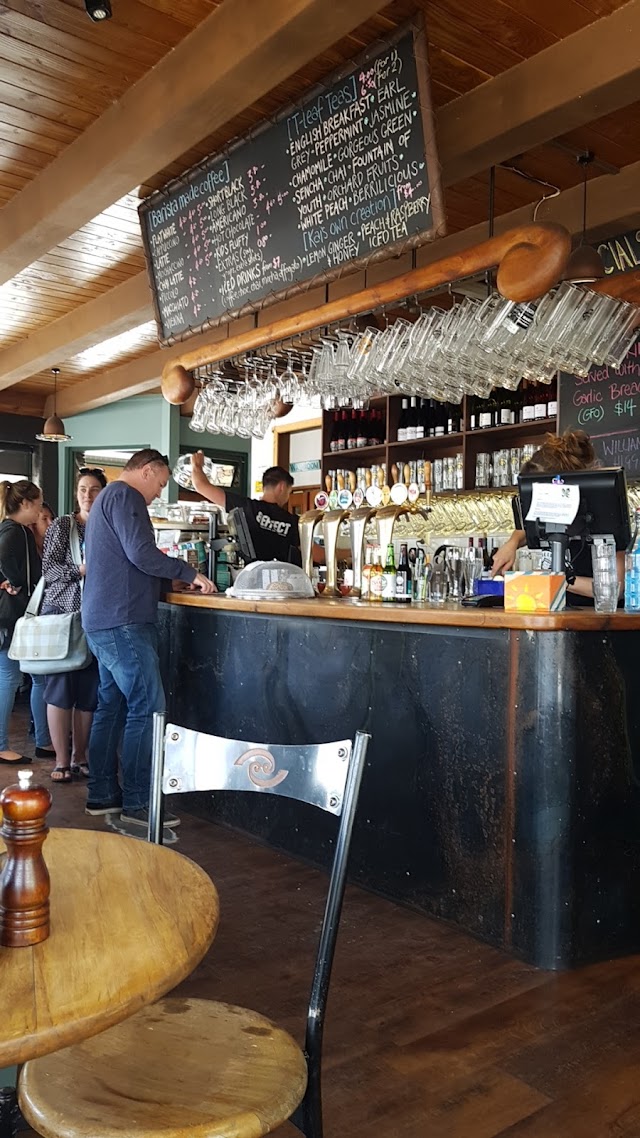 Kai Whakapai
Cnr Helwick & Ardmore Streets, Wanaka 9305, Nouvelle-Zélande
Ajouté par68 utilisateurs
Kai Whakapai
Cnr Helwick & Ardmore Streets, Wanaka 9305, Nouvelle-Zélande
Ajouté par68 utilisateurs
 The Wanaka Tree
Tapley Paddock, Otago 9305, Nouvelle-Zélande
Ajouté par154 utilisateurs
The Wanaka Tree
Tapley Paddock, Otago 9305, Nouvelle-Zélande
Ajouté par154 utilisateurs
 Roys Peak Track
, Glendhu Bay 9382, Nouvelle-Zélande
Ajouté par113 utilisateurs
Roys Peak Track
Roys Peak Track, Glendhu Bay 9382, Nouvelle-Zélande
Ajouté par113 utilisateurs
 Big Fig
105 Ardmore St, Wanaka 9305, Nouvelle-Zélande
Ajouté par108 utilisateurs
Big Fig
105 Ardmore St, Wanaka 9305, Nouvelle-Zélande
Ajouté par108 utilisateurs
 Wanaka
, Nouvelle-Zélande
Ajouté par68 utilisateurs
Wanaka
Wanaka, Nouvelle-Zélande
Ajouté par68 utilisateurs
 Kika
2 Dunmore St, Wanaka 9305, Nouvelle-Zélande
Ajouté par63 utilisateurs
Roys Peak
Roys Peak, Otago 9381, Nouvelle-Zélande
Ajouté par50 utilisateurs
Kika
2 Dunmore St, Wanaka 9305, Nouvelle-Zélande
Ajouté par63 utilisateurs
Roys Peak
Roys Peak, Otago 9381, Nouvelle-Zélande
Ajouté par50 utilisateurs
 Patagonia Chocolates
155 Ardmore St, Wanaka 9305, Nouvelle-Zélande
Ajouté par49 utilisateurs
Patagonia Chocolates
155 Ardmore St, Wanaka 9305, Nouvelle-Zélande
Ajouté par49 utilisateurs
 Francesca's Italian Kitchen
93 Ardmore St, Wanaka 9305, Nouvelle-Zélande
Ajouté par49 utilisateurs
Francesca's Italian Kitchen
93 Ardmore St, Wanaka 9305, Nouvelle-Zélande
Ajouté par49 utilisateurs
 Puzzling World
188 Wanaka-Luggate Hwy, Wanaka 9382, Nouvelle-Zélande
Ajouté par31 utilisateurs
Puzzling World
188 Wanaka-Luggate Hwy, Wanaka 9382, Nouvelle-Zélande
Ajouté par31 utilisateurs
"hike de 6h 3h30 monter, 30 min en haut 2h redescendre vraiment beau, mais a regarder la meteo"
@galbalad
"6-8h de rando pas facile mais plus belle vue du monde"
@
"super belle rando de 5h-6h "
@