


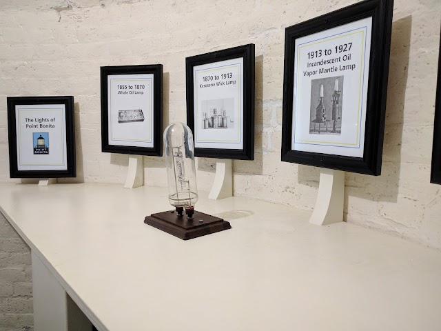


Point Bonita Lighthouse
Vous pensez qu'il y a une erreur sur ce lieu ?
Signaler une erreur
Vos retours sont importants pour nous. Si vous avez remarqué une erreur concernant ce lieu, merci de nous en informer pour que nous puissions la corriger.
Propriétaire de ce lieu ?
Nous récupérons automatiquement les informations disponibles sur votre lieu. Si jamais celles-ci ne sont pas correctes, connectez-vous gratuitement sur notre tableau de bord pour les modifier et bonus, accédez à vos statistiques détaillées.
Ce qu'en disent les utilisateurs
Approuvé par 1 partenaires officiels

Autres lieux à voir autour
 Golden Gate Bridge
, California, États-Unis
Ajouté par2321 utilisateurs
Golden Gate Bridge
Golden Gate Bridge, California, États-Unis
Ajouté par2321 utilisateurs
 Outerlands
4001 Judah St, San Francisco, CA 94122, États-Unis
Ajouté par869 utilisateurs
Outerlands
4001 Judah St, San Francisco, CA 94122, États-Unis
Ajouté par869 utilisateurs
 Golden Gate Park
San Francisco, CA, États-Unis
Ajouté par882 utilisateurs
Golden Gate Park
San Francisco, CA, États-Unis
Ajouté par882 utilisateurs
 Japanese Tea Garden
75 Hagiwara Tea Garden Dr, San Francisco, CA 94102, États-Unis
Ajouté par687 utilisateurs
Japanese Tea Garden
75 Hagiwara Tea Garden Dr, San Francisco, CA 94102, États-Unis
Ajouté par687 utilisateurs
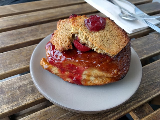
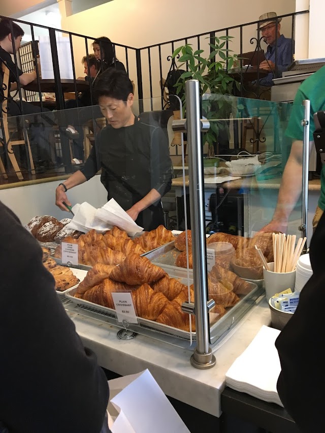 Arsicault Bakery
397 Arguello Blvd, San Francisco, CA 94118, États-Unis
Ajouté par475 utilisateurs
Arsicault Bakery
397 Arguello Blvd, San Francisco, CA 94118, États-Unis
Ajouté par475 utilisateurs
 de Young Museum
50 Hagiwara Tea Garden Dr, San Francisco, CA 94118, États-Unis
Ajouté par563 utilisateurs
de Young Museum
50 Hagiwara Tea Garden Dr, San Francisco, CA 94118, États-Unis
Ajouté par563 utilisateurs
 Bar Bocce
1250 Bridgeway, Sausalito, CA 94965, États-Unis
Ajouté par398 utilisateurs
Bar Bocce
1250 Bridgeway, Sausalito, CA 94965, États-Unis
Ajouté par398 utilisateurs
 Palace of Fine Arts
3601 Lyon St & Marina Blvd, San Francisco, CA 94123, États-Unis
Ajouté par465 utilisateurs
Palace of Fine Arts
3601 Lyon St & Marina Blvd, San Francisco, CA 94123, États-Unis
Ajouté par465 utilisateurs
 Fish Restaurant
350 Harbor Dr, Sausalito, CA 94965, États-Unis
Ajouté par260 utilisateurs
Fish Restaurant
350 Harbor Dr, Sausalito, CA 94965, États-Unis
Ajouté par260 utilisateurs
 Académie des sciences de Californie
55 Music Concourse Dr, San Francisco, CA 94118, États-Unis
Ajouté par465 utilisateurs
Académie des sciences de Californie
55 Music Concourse Dr, San Francisco, CA 94118, États-Unis
Ajouté par465 utilisateurs
"Dal piccolo parcheggio nei pressi di Field Rd parte la stupenda passeggiata di 800 m che conduce allo storico Point Bonita Light-house (cartina p452; 2415-331-1540; www. nps.gov/goga/pobo.htm; ®©12.30-15.30 sab-lun; (P) FREE. Dalla punta di Point Bonita si vede in lontananza il Golden Gate Bridge con lo skyline di San Francisco sullo sfondo. In stagione è inoltre possibile avvistare le foche sugli scogli poco lontano."
@
"The route begins in the Golden Gate National Recreation Area on Tennessee Valley Trail — named for a ship that ran aground in 1853 yet delivered its passengers safely before sinking off the coast. Almost immediately the hike leaves the valley — and flat ground — behind, climbing the Coastal Fire Road to Pirates Cove Trail, then weaving along wildflower-strewn hills as it heads north past a sliver of beach at Pirates Cove (one optional stop) and countless unnamed viewpoints. On clear days the vistas are classic California: rugged cliffs, teal water and foamy surf. On foggy outings it’s pure Marin, with the path disappearing into the gray and the ocean shrouded in cloud. AllTrails suggests turning around just outside the Highway 1 hamlet of Muir Beach, but don’t you dare. It’s an easy stroll to a wide swath of sand in one direction and a pint at the Pelican Inn in the other. Either way, you’re going to want a break before heading back. The return trip is where the trail earns its “hard” rating: It’s 870 feet up the Coastal Trail and Coastal Fire Road in just over a mile. Catch your breath at the top, then follow Fox Trail for a ridgeline cruise above the fog back to where you started."
@
"Au nord de la ville, non loin de Sausalito, le Point Bonita Lighthouse, ancien phare construit en 1855, aidait autrefois les bateaux à entrer dans la baie."
@
"Cool beautiful lighthouse that Halley Albert filmed at. "
@
"Leuchtturm mit Brücke über Wasser"
@
"attention jour d'ouverture "
@
"Point de vu à couper le souffle pour avoir une autre facette du GGB. Une vue sur le Pacifique. Petit marché vallonnée du parking jusqu'au phare. Possibilité de voir les phoques en fonction des saisons"
@